-
-
Front Page
-
About
Introduce to Upazila
History & Tradition
Geography & Economics
Others
-
About Upzila
About Upazila Parishad
Monthly Meeting Notice/ Minutes
Five Year Plan
ADP Report
Annual Finacial Report
তথ্য প্রদানকারী কর্মকর্তা
বার্ষিক বাজেট
উপজেলা কমিটিসমূহের সভা
-
About
About Organogram
Schedule & Meeting
Service & Others
-
Govt. Offices
Security & Discipline
Health and Environment Related
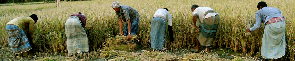
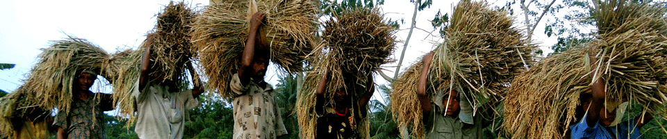
Agriculture & Food
Land Related
Engineering & Communication
Human Resources
Education
-
Different Institutions
Educational Institutions
- e-Services
-
Gallery
...................
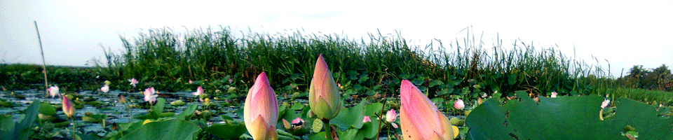
There are various stories about the naming of Terkhada. The most acceptable is the 1 khada with 16 bighas of land in this area, the first settlement was formed on the banks of Chitra river more than 200 years ago on 13x16 = 206 bighas of land. Hence the name Terkhada.
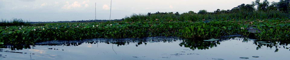
1916 A.D. Terkhada Thana was created and administrative decentralization resulted in the Thana later gaining the status of Upazila. Terkhada Upazila is important for its geographical location, with Kalia Upazila in the north, Rupsha Upazila in the south, Mullahat Upazila in the east and Dighalia Upazila in the west.
Terkhada Upazila at a glance
Area of the upazila: 46095'36 acres = 16'54 acres
Number of unions: 6
Number of general wards: 54
Number of mouzas: 33
Number of villages: 100
Number of people: 1,16,754
Male: 62,121
Women: 58,633
Population density: 636 people (per sq km)
Number of families: 26,304
Number of hat bazaars: 6
Number of high schools: 4
Number of secondary schools: 18
Number of Technical Colleges (BM): 3
Number of Agricultural Diploma Colleges: 1
Number of secondary schools: 18
Number of lower secondary schools: 2
Number of government primary schools: 53
Registration: Number of primary schools: 48
Number of Dakhil Madrasas: 6
Number of Alim Madrasa: 1
Literacy rate: 85%


Planning and Implementation: Cabinet Division, A2I, BCC, DoICT and BASIS
Technical Assistance:
![]()
Developed By:
